
Ecosystem Screening made Quick | Scalable | Bespoke
An environment and social screening tool that screens project sites for sensitive receptors.
Easy 4 step process
Step 1
Submit project location coordinates and required buffer
Step 2
Receive Confirmation within 24 hours
Step 3
Make Payment
Step 4
Receive E&S screening report in 48 hours upon request
Proximity Analysis Report
The report highlights nearby environmental and social receptors and indicates the buffer zone within which they fall. Each receptor is classified by proximity distance – supporting early-stage risk assessment, regulatory compliance, and lender due diligence.
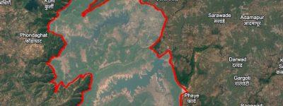
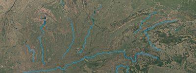
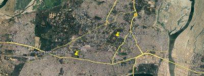
10+ Sensitive Environment and Social Receptors
💧 Waterbodies & Watersheds
- Major Rivers and Waterbodies
- Ground Water Development
🏛️ Cultural & Archaeological Places
- World Heritage Sites
- Excavations
- State Protected Monuments
- Museums
🌿 Sensitive Natural Habitats
- National Park / Wildlife Sanctuary
- Notified Eco-Sensitive Zone
- Important Bird Areas, Ramsar Sites
- Reserve / Protected Forest
- Schedule Areas & Wildlife Corridors
⚡ Natural Hazards
- Earthquakes
- Floods, Cyclones
🔗 Connectivity & Others
- Nearest Highways (NH & SH)
- Airports, Railway Stations
- Defense & Army Installations
MapSense For Multiple Sectors
⛏️ Extractives & Natural Resources
🏭 Industrial / Processing Zones
🏗️ Infrastructure
🏢 Real Estate
🏨 Hospitality (Hotels & Resorts)
📦 Logistic Parks & Warehousing
♻️ Renewable Energy
🌍 Projects in sensitive ecosystems
Site Sensitivity Insights for Better Project Decisions
The screening output highlights key ecological and social sensitivities. It supports early understanding of site constraints, regulatory needs and mitigation planning for lower risk project decisions.
Screen Your Next Project Location with MapSense
Reach out to our spatial analytics team for automated screening inquiries.